Geography is a fascinating subject, and the best way to learn about the planet that our God has created is through fun geography activities, educational geography games, and hands-on experience!
14 Fun Geography Activities for Homeschool Families
Looking for some fun, new, educational ways to teach your students about the world? Here are 14 of our favorite hands-on geography activities at Classical Conversations!
You can easily modify each of these activities for your Scribblers (ages 4–8), Foundations (ages 4+), Essentials (ages 9+), and Challenge (ages 12+) students. Don’t worry—we’ll leave notes on how to adapt these activities to your student’s needs!
Note: For anyone not familiar with Classical Conversations, Scribblers corresponds with preschool, kindergarten, and elementary curricula; Foundations corresponds roughly with elementary school; Essentials corresponds with elementary to middle school; and Challenge corresponds with high school. Each program tracks with one of the three stages of the trivium in classical education: grammar for ages 4+, dialectic for ages 9+, and rhetoric for ages 12+.
1. Draw Different Types of Maps
Objective: Introduce different map styles to understand the ways in which the Earth is represented.
Materials: A variety of maps, paper, and pencils.
Activity: What if you didn’t draw a rectangular map? What might it look like?
Experiment by studying and drawing cylindrical maps, conical maps, azimuthal maps, and more! Compare and contrast various map styles with a globe.
Younger students can focus on naming the map styles and identifying their differences.
Older students can draw predicted changes between map styles and then compare those drawings with actual changes.
2. Explore Like an Explorer
Objective: Go on a DIY geographic field trip and learn to think like a cartographer!
Materials: A local map, paper, pencils, trowel or shovel
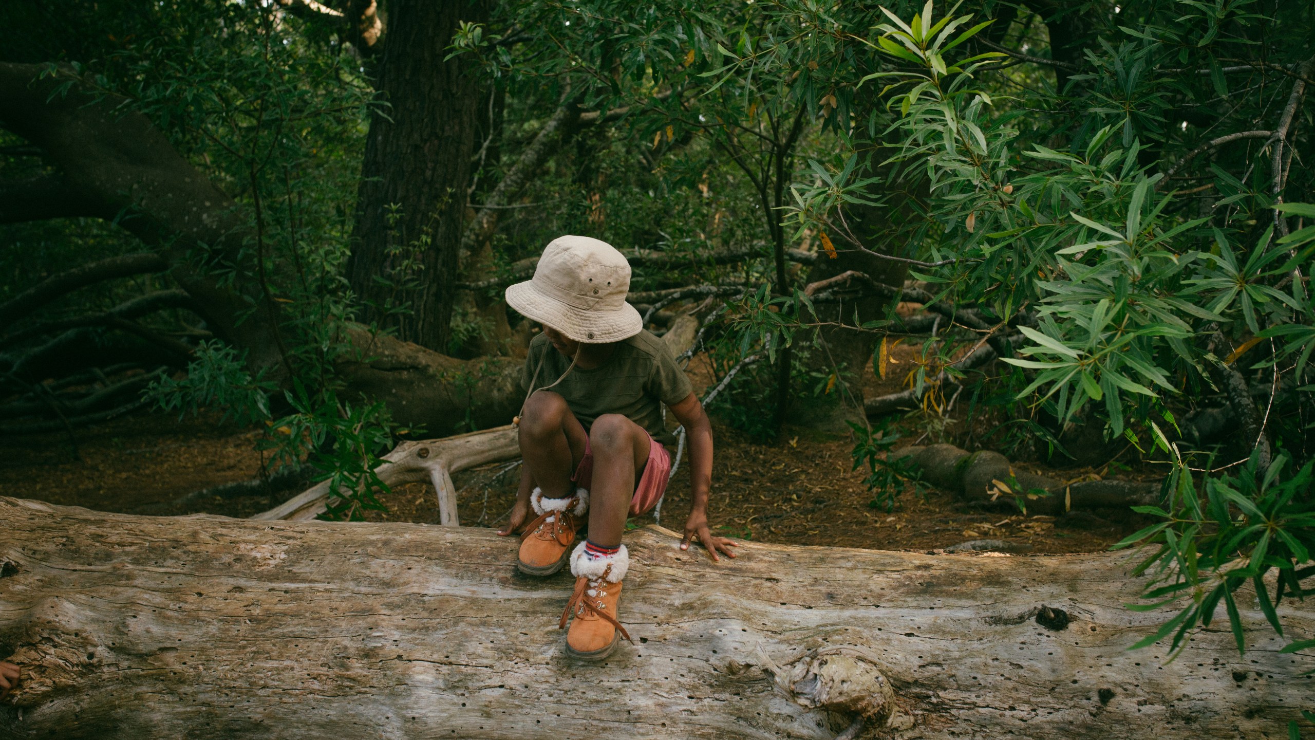
Activity: Encourage your kids to plot a course on a map of a local park or nature preserve—and then go! Document exciting things along the way. Compare the plants, animals, and soil types, and discuss why they vary from place to place.
Older students can research the binomial nomenclature of these organisms.
3. Map the Paths of Famous Travelers
Objective: Uncover the history of geography and geographic explorations.
Materials: Maps, rulers
Activity: Use a map to better understand and visualize famous explorations. After researching an explorer’s journey, measure the distance on a map to see how long the trek would’ve taken.
You can also explore questions like: What obstacles would the explorer have encountered along the way? How long would the journey have taken on foot or by horse? How long would it take you by car?
Discuss the differences in speeds and routes to turn the discussion into a math lesson for older students.
4. Pin Historical Events on a Map
Objective: You’ll connect history, geography, and timelines in this fun activity.
Materials: A large world map, timeline cards, colored pins, strings (optional)
Activity: Using your timeline cards, place pins on the map to represent the different historical events. Color-code events from different time periods or categories for added complexity.
Discuss the events on the map and find spatial, temporal, and relational connections between them. (And you could show these connections by tying strings between related events!)
5. Model Famous Structures
Objective: Turn your geography study into an art lesson to exercise creativity and memory!
Materials: Play-Doh®, Lego®, paper mache, or any other structural medium you like
Activity: Recreate famous structures using any of the materials listed above. Talk about how the builders built the original structures and what they used to make them.
Older students can conduct original research on these buildings and make blueprint drawings.
6. Make a Meal From a Specific Country
Objective: Learn about food culture through geography. Also—food!
Materials: A recipe, ingredients, cooking utensils, and empty stomachs
Activity: Create cuisines from around the world!
Talk about where your menu’s foods grow and where they are eaten, identifying these regions on a map. Discuss the differences between authentic and inspired foods. What foods might your ancestors have eaten in their native regions?
Older students can further explore the relationships between food cultures and geography. How does geography shape diet? How is food transported from across the world to your local supermarket?
(My favorite part of this activity? Leftovers.)
7. Color and Shade a Map
Objective: Practice identifying geographic features on a map.
Materials: Maps, crayons, or color pencils
Activity: For younger children, identify geographic features like mountains, plains, and rivers on the map. Use a reference and color in these regions with crayons.
For older students, print a black-and-white topographic map. (You’ll find plenty of free printable topographic maps online.) Your student can color contour lines at different elevations and then shade the contour intervals with matching colors.
8. Create a World Puzzle Map
Objective: Create a DIY world puzzle map.
Materials: A computer or a printed map, glue, spray lacquer, a cutting tool, a ruler, and a pencil.
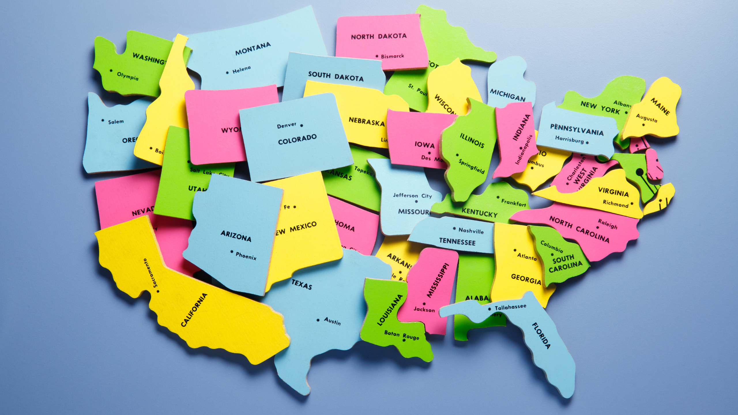
Activity: You can go hands-on with this activity by following these step-by-step instructions on how to make a puzzle, or you can turn this into a virtual geography activity with an online jigsaw puzzle creator.
Either way, you can tailor this activity to different age groups simply by adjusting the number of pieces.
9. Play Latitude/Longitude Battleship
Objective: Practice identifying latitudinal and longitudinal coordinates with a game of Battleship.
Materials: Paper, pencil, tokens (optional), map (optional).
Activity: Battleship is a memorable way to learn latitude and longitude.
Simply create a grid on a large sheet of paper or use a map. Each grid should have a north-south y-axis and a west-east x-axis. Both axes should start at zero degrees at the center. Draw ships or place tokens to represent ships of different sizes, then try to sink each other! (And if you’re not familiar with the game, check out these rules and modify them as needed.)
For added complexity, use a map of the Earth. Each turn, the attacking player can ask one yes-or-no geography-related question to locate a battleship. For example, “Is your ship in the Western hemisphere?” or “Is your ship in the Atlantic Ocean?”
10. Play the Landmarks Card Game
Objective: Learn about landmarks and world geography while practicing memory skills.
Materials: DIY landmark cards
Activity: Card games are a fantastic way to teach geography and world landmarks while having fun.
This memory game can be played by individuals or in a group. Simply create 14 cards featuring images of famous landmarks from each of the seven continents. You’ll need two cards for each landmark (14 pairs).
Lay out all the cards face down in a grid, and place the continent labels in a row next to them.
The first player—you can decide who goes first with a game of rock-paper-scissors or a simple coin toss—flips over any two cards.
If they match (i.e., show the same landmark), the player keeps the pair and earns a point. If they don’t match, the player flips the cards back over, and it’s the next player’s turn.
When a player successfully matches two landmark cards, they must also correctly identify the continent where that landmark is located using the continent labels, and they earn an additional point if they answer correctly. Players take turns flipping over cards until they match all the pairs.
The player with the most points wins the game.
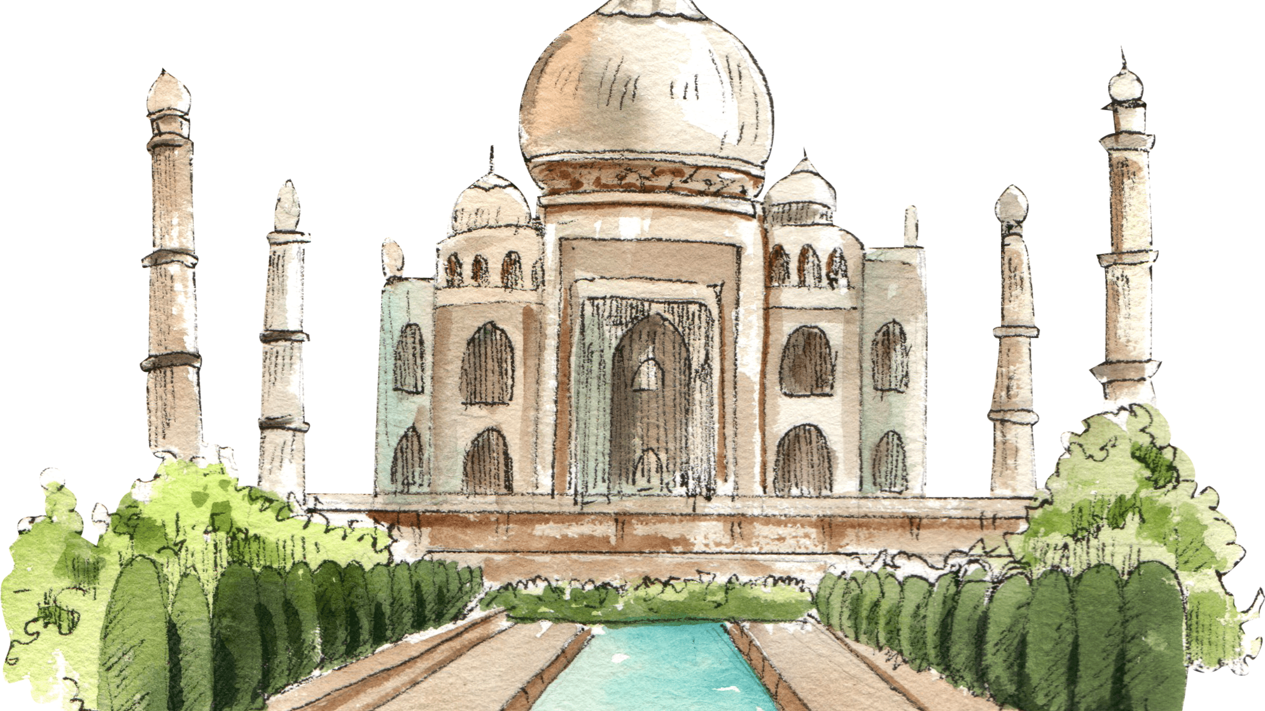
11. Create Paper Mache Models of the Types of Volcanoes
Objective: Get hands-on learning by crafting different types of volcanoes in this geography activity.
Materials: Flour, water, bowl, newspaper strips, paints and brushes, tape, cardboard, and structures for the shape of the volcanoes (for example, a bottle for a stratovolcano, a lampshade for a shield volcano, a bowl for a caldera, etc.), optional decorations
Activity: This geography crafts activity is messy but fun!
- Prepare your structure by taping it to the cardboard base.
- Mix 1 part flour to 1.5 parts water in a bowl to achieve a glue-like texture.
- Dip the newspaper strips into the mixture and apply them to the structure.
- Create multiple layers for texture and durability.
- Let it dry.
- Paint the volcano!
Your student will have a much easier time remembering the types of volcanoes after this activity.
12. Start a Weather Diary and Track Weather Patterns
Objective: Learn about weather and climate with this long-term geography project.
Materials: A diary, pencils, crayons (for littles)
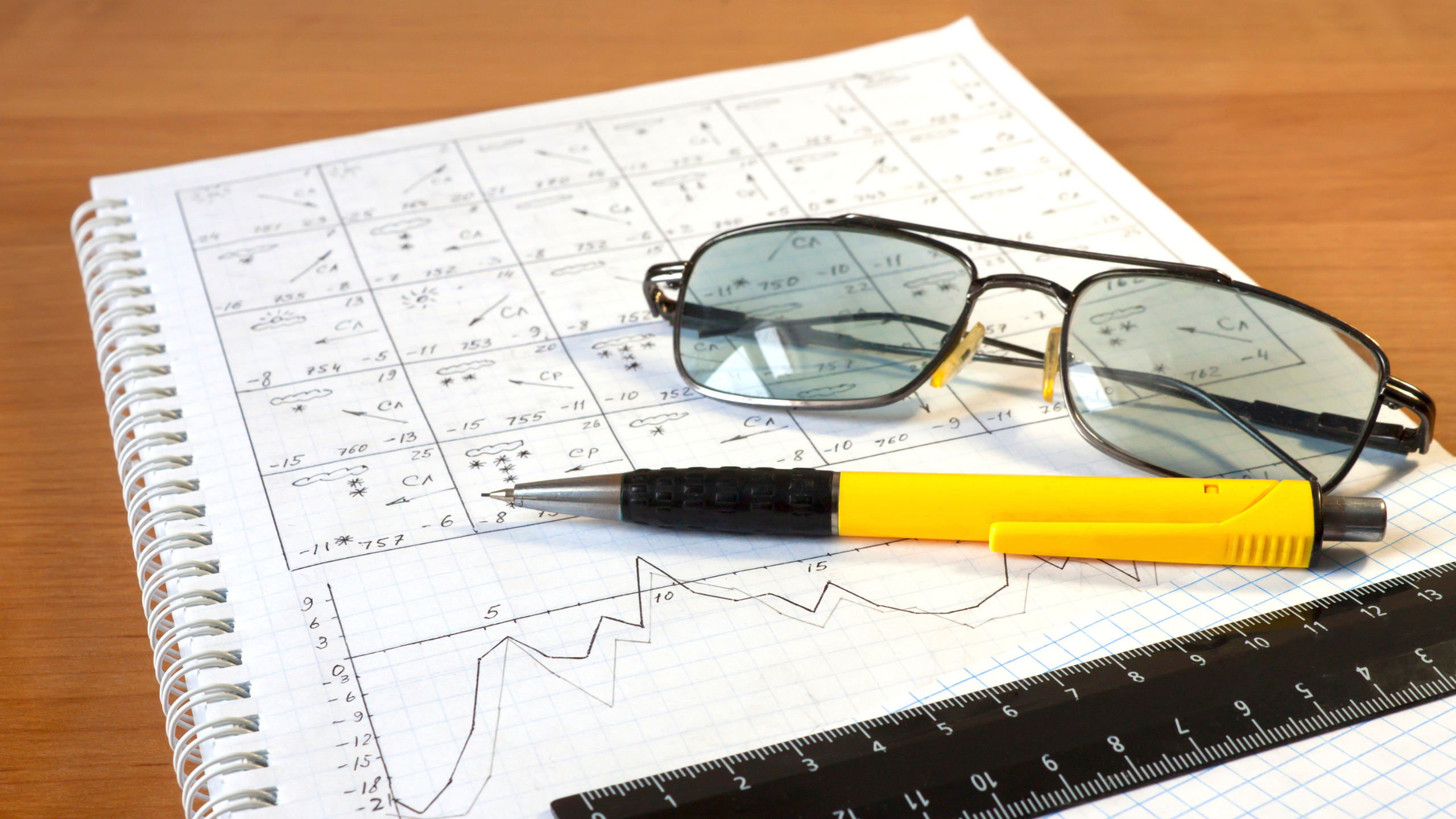
Activity: Keep a weather diary! The wonderful thing about this activity is that it scales well with age. Your littlest learners can make general observations about the weather (“It rained!”) and draw pictures, while your older learners can take more precise measurements, monitor more variables, and make predictions based on the historical data they accumulate.
Keep this diary going throughout the year. As you approach the end of the year, you can explore how the weather has changed through the seasons, and you can draw some conclusions about your climate.
13. Create a Travel Brochure for a Country of Your Choice
Objective: Explore geography, business, and tourism by writing a travel brochure.
Materials: Paper, pencil, research materials, computer (optional)
Activity: Well, it’s not a luxurious vacation to an exotic country, but it’s the next best(-ish) thing (grumble, grumble): creating a travel brochure!
A travel brochure should include at least the following: an eye-catching cover, an introduction, a map, cultural insights, attractions, and a call to action.
Older students can conduct additional research into accommodations, dining, transportation, entertainment, weather, best times to visit, and so on using available online resources.
You can also turn this into a virtual geography activity by making use of free digital brochure makers.
14. Simulate a Farmer’s Market
Objective: Discover the relationship between geography and agriculture in this fun geography activity.
Materials: A large map (local, regional, or national), poster board, markers, colored pencils, or crayons
Activity: First, your student will create a farm on their poster board. They can draw fields, barns, livestock, crops, and any other features they want to include. Next, your student will locate a suitable location for the farm on the map that you’ve provided. You’ll then add other farms to the map as well as farmer markets to sell their produce.
You can then explore a variety of issues. How will your student transport their goods from their farm to the farmer’s market? What impact might greater distances to farmer’s markets have on the farm? Or what happens when other farms sell the same goods to the same farmer’s markets—and what should your student do in that situation?
Younger students can draw routes, measure distances, and so on. Older students can explore the same topics in greater depth.
Geography Activity Videos
More Homeschool Resources for Learning Geography
Pencils, crayons, paper, and maps are some of the best tools for learning geography. However, there are also great resources out there specifically designed to help homeschooling families in their study of the world.
Check out Exploring the World Through Cartography, a visually stunning book from Classical Conversations that will change how your students view the world and how they see themselves in it.
You might also be interested in Trivium Tables for Cycle 1, Cycle 2, and Cycle 3. These geography tables make memory work fun for geography students. And be sure to check out our fun and educational Trivium at the Table placemats! Finally, if you haven’t read The Core already, chapter seven explores the ways in which parents can recover the lost tools of learning geography through a classical education.

